
Dubenec – Village History, Castle Ruins and Watercourses
Accommodation in Dubenec
Culture and History
The history of Dubenec dates back to 1321, when Štěpán z Tetína founded the village. After 1755, Dubenec Castle was created by converting an older building; today it is a ruin. The building has one storey, is partially basemented and has a rectangular floor plan. Its core is a Baroque structure that was rebuilt according to plans by Ignác Vojtěch Ullmann in the Neo-Renaissance style. The castle complex thus reflects an older building structure, a Baroque core and the later rebuilding in the Neo-Renaissance style. At the same time, the present ruin preserves the basic form of a single-storey building with a rectangular floor plan and partially basemented areas.
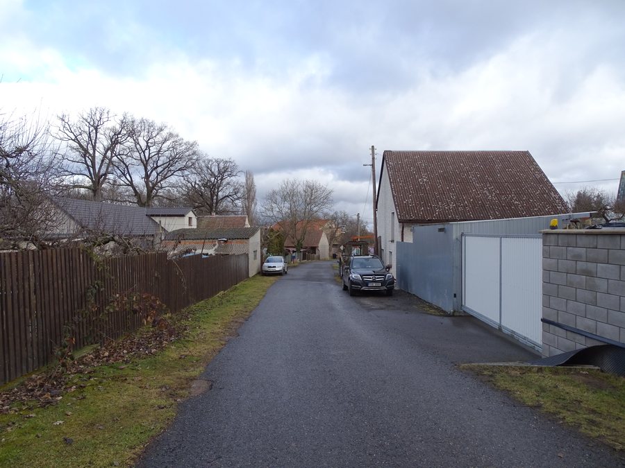
In addition to the castle, the protected Dubenec castle complex includes the northern farm wing with a residential building and stables, the southern farm wing with a stable and barn, a courtyard with an enclosing wall, and a castle park with remains of the enclosing wall and swimming pool. The complex therefore comprises not only the actual castle building, but also the two farm wings with their different agricultural outbuildings. The courtyard and park complement the complex; parts of the enclosure have been preserved in both, while the park also contains surviving remains of the swimming pool. A statue of Saint John of Nepomuk stands on the village square in Dubenec.
The Bytízský potok enters Dubenec from the southwest and flows through the built-up area. Within the built-up area, it feeds several small ponds. In the northern part of the cadastral area of Dubenec, the Bytízský potok flows into the Kocába. The Kocába enters Dubenec from the northwest and flows through the northern part of the cadastral area. The Kocába is officially classified as a significant watercourse. Thus, the described water system includes both the entry of the Bytízský potok from the southwest and the entry of the Kocába from the northwest. The Bytízský potok runs through the built-up settlement and there connects the small ponds with its further course to the Kocába. The Kocába crosses the northern part of the cadastral area before the Bytízský potok flows into it there.
Mount Velký Chlum is located in the vicinity of Dubenec. The mountains Velká Leč, Velká Třemošná and Kuchyňka are located around Dubenec. The Church of Saint Anne is also located in the vicinity of Dubenec. In the wider regional area lies the Zřícenina Valdek ruin. The historical site “Lety u Písku. Památník holokaustu Romů a Sintů v Čechách” is also located in this wider regional area. Karlštejn Castle is likewise located in the wider regional area of Dubenec. The destinations mentioned are recorded in three spatial relationships: Velký Chlum is in the immediate vicinity, the three mountains and the Church of Saint Anne are in the surrounding area, while Zřícenina Valdek, Lety u Písku. Památník holokaustu Romů a Sintů v Čechách, and Karlštejn are assigned to the wider regional area.
Dubenec’s transport infrastructure includes the D4 motorway, the first-class road I/4, local roads and bus services. The listed infrastructure therefore includes both interregional transport routes and local roads, as well as public bus transport. The D4 motorway and road I/4 are explicitly named as road connections; they are complemented by the local road network and bus services.
Other places: Dolní Hbity, Oboz, Korkyne, Obory, Příbram, Višňová, Petrovice, Buková U Příbramě
For the higher-level travel overview: Příbram District.

_(01).jpg)