
Breitingen: Hiking, Singing and Schönrain Mill
Accommodation in Breitingen
There are four signposted hiking routes around Breitingen, with different distances and elevation gains. Two described circular hikes start and end at the Pegelhaus/hiking car park; their distances and elevation gains can be compared directly. Another hike starts at the town hall and passes Schönrain Mill. The Breitinger Höhenweg adds seven singing stations to the selection.
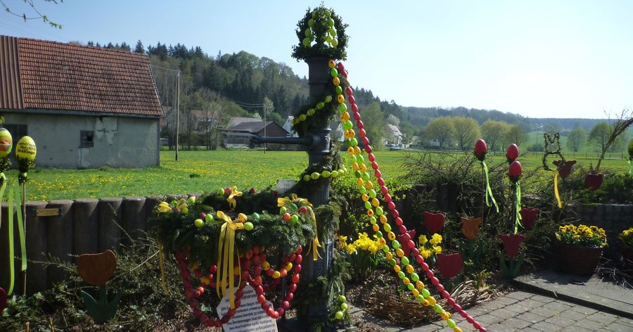 File:Breitingen im Lonetal - Osterdekoration des Schiffbrunnens 03.jpg
Photo: Franzfoto via Wikimedia Commons, CC BY-SA 3.0
File:Breitingen im Lonetal - Osterdekoration des Schiffbrunnens 03.jpg
Photo: Franzfoto via Wikimedia Commons, CC BY-SA 3.0
Hiking in Breitingen: Distances and Elevation Gains
The shorter circular hike is 2.3 km long and has an elevation difference of 3 m. It starts at the Pegelhaus/hiking car park and returns there. At first, it follows a paved hiking trail along the Lone in the direction of Westerstetten. After 1 km, the route follows an easily walkable footpath and crosses the Lone bridge. It then continues along a well-gravelled farm track, partly at the edge of the forest, downstream, back to the starting point. The route thus combines paved and gravel sections with a footpath.
The second circular hike is 3.2 km long and has an elevation difference of 60 m. It also starts and ends at the Pegelhaus/hiking car park, but follows a different route: Cross the Lone bridge and walk through the forest to the Scheckeler and on to a farm on the outskirts of the village. The return route follows a paved path with a lovely view over Breitingen. In direct comparison, this loop is 0.9 km longer and has 57 m more elevation gain than the 2.3 km option. This lets you consider distance and elevation gain together when choosing a route.
Singing Stations on the Breitinger Höhenweg
The Breitinger Höhenweg adds a musical touch: there are seven singing stations along the trail. The Breitingen Singing Society and the children's choir have each recorded two songs for every station and invite you to sing along. If you enjoy combining hiking with singing, this trail offers a special focus on music. The seven stations and songs distinguish it from the two circular hikes, which are primarily defined by their distances and elevation gains.
Another Route Starting at the Town Hall
A hike starts at Breitingen town hall, leads to Schönrain Nature Reserve and passes Schönrain Mill. It follows a forest path downhill along the Lone; a shortcut is possible. Alongside the two circular hikes starting at the Pegelhaus/hiking car park, this gives you another described hiking option with a different starting point. The distance and elevation gain figures for the two circular hikes should not be applied to this route. If you choose this trail, you can take the possible shortcut into account when planning.
Schönrain Mill and Places to Take a Break
A milling station with millstones can still be seen today at Schönrain Mill. The mill is also a waypoint on the hike starting at the town hall. This lets you combine a hike with a look at the milling station. Breitingen also has two inns where you can stop for refreshments, several benches in scenic spots and an activity point on the Lone where you can take a break. If you plan to stop at an inn, check the latest information about them in advance.
Whether you prefer a short circular hike with a 3 m elevation difference, a longer loop with a 60 m elevation difference or a route with singing stations, the described trails each offer something different. Schönrain Mill and the local places to take a break also give you concrete ideas for planning, without requiring you to choose the same route.
Discover more travel destinations: Rottenacker, Nerenstetten, Illerrieden, Dornstadt, Neenstetten, Lonsee, Setzingen, Laichingen.
For the main travel overview: Alb-Donau District.

