
Lindlar between the leisure park and the Stonemason’s Trail
Accommodation in Lindlar
When planning your trip to Lindlar, you can choose from several different activities: the leisure park with its pond and the Stonemason’s Trail, which leads to the quarries. You can also go fossil hunting. Plan your stay around whether you’d prefer a stroll in the park, a hike or a hands-on activity with rocks.
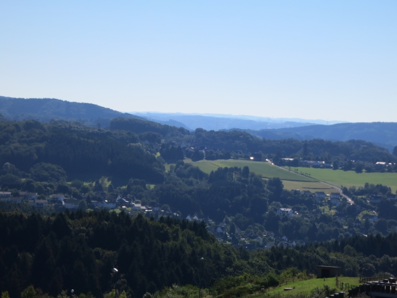
Leisure Park, Walking Paths and Motorhome Parking
Lindlar Leisure Park is a 5.6-hectare public park. Its accessible walking path network runs alongside a pond. The park also has an adventure playground with a tyre swing, slide, zip line and climbing castle.
There are two free motorhome parking spaces at the leisure park or Parkbad, close to the LVR Open-Air Museum and Lindlar’s historic town centre. They have a pay-to-use electricity point, as well as water and wastewater connections. Check current availability before you arrive.
Free concerts are scheduled at the park’s own concert area from May to September. Check the specific dates in advance.
Stonemason’s Trail and Fossil Hunting
The 6.2-kilometre Stonemason’s Trail is a circular hiking route and Bergischer Hike No. 8. It leads from Lindlar town centre to the quarries on the Brungerst. Eight information boards and two audio stations provide information along the trail. Guided hikes offer background information about the quarries, greywacke and the world’s oldest forest; availability and booking conditions may change, so check in advance.
At the Lindlar quarries, you can use a hammer and chisel to search large blocks of stone for fossils dating back millions of years. The activity for groups and families runs daily from April through October, except Sundays and public holidays. Check dates and booking conditions in advance.
More Trails and Activities in the Oberbergischer Kreis
The wider Oberbergischer Kreis destination offers further activities to help you plan your trip. At the LVR Open-Air Museum Lindlar, craftspeople demonstrate different traditional crafts each day. Five hiking maps of the Bergisches Land show the complete current hiking trail network of the Rheinisch-Bergischer and Oberbergischer districts and help with route planning. Before buying, check which map editions are current.
The Höhenroute starts at the Nümbrecht Kurpark hiking car park. It takes its name from the landscape and the views across the ridgelines. It is signposted throughout, and GPS navigation is also available via Outdooractive. As the route and trail markings may change, check the information before setting out.
The Klangpfad in the Homburger Ländchen combines peaceful relaxation with sounds of nature. The original Klangpfad was developed by the municipality of Nümbrecht together with the Oberberg Biological Station. For a cycling tour, the Wasserquintett is another option: the start and finish are at Marienheide railway station. Many sections follow disused railway lines with gentle gradients and are suitable for e-bikes and touring bikes. Check route conditions and signage before setting off.
The Talsperrenroute runs through the region around Marienheide, Wipperfürth and Hückeswagen. It passes four reservoirs; three audio features provide information about the flora, fauna and animal habitats around the reservoirs. The bathing season announcement dated 19 May 2026 listed a total of 13 official bathing spots at the Aggertalsperre, Bevertalsperre, Bruchertalsperre and Lingesetalsperre. According to that seasonal information, water quality met the requirements of the EU Bathing Water Directive and was monitored regularly throughout the season. Check the current season status before planning a day of swimming.
Discover more destinations: Bruch, Fenke, Wipperfürth, Engelskirchen, Bergneustadt, Morsbach, Nümbrecht, Hückeswagen.
Back to the overview of the wider destination: Oberbergischer Kreis.
